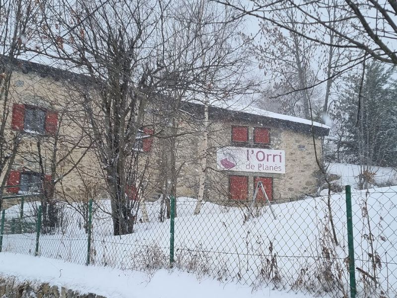
Our trailside eco-lodge is located at an altitude of 1500 meters, in the small mountain village of PLANES, known for its 11th century Romanesque church. The village has a station on the Little Yellow Train line and is only 5 kilometers from the fortified town of Mont-Louis.
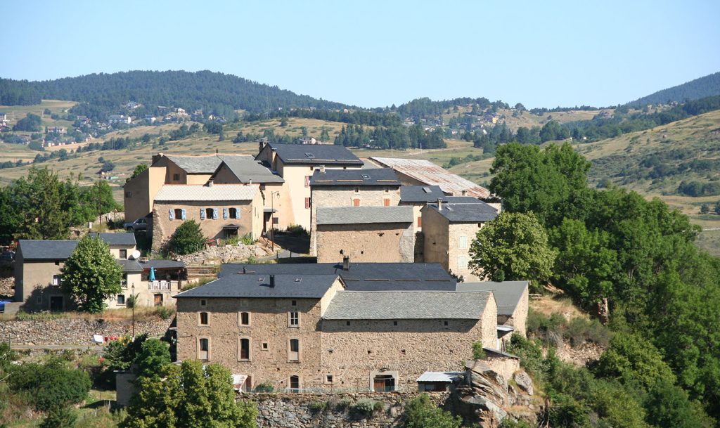
It benefits from an exceptional setting. Relaxation, calm, nature and traditional cuisine are the key words of the Orri de Planès gîte. When the weather is nice, you can see the Mediterranean Sea from the hill at the end of the main street of the village, 500 meters from the cottage.
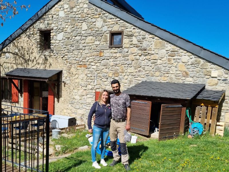
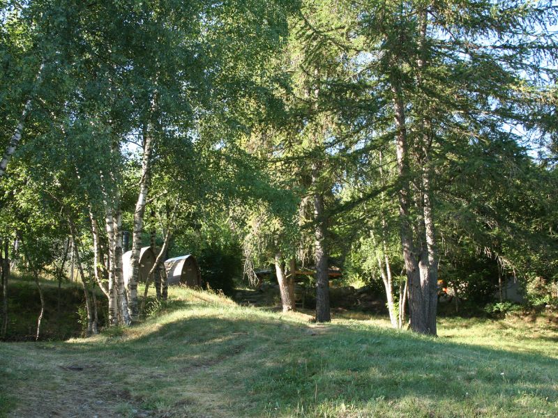
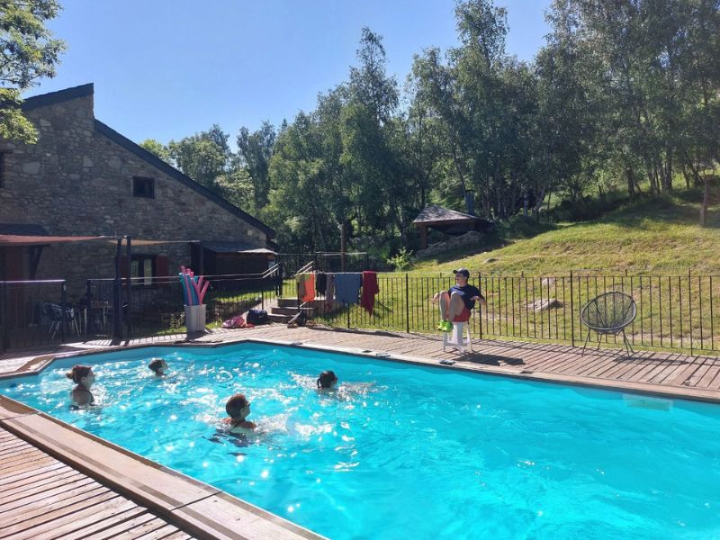
We welcome you with pleasure to our home, an old farm dating from the 1800s, completely renovated. The wooded park with its 8 x 4 m swimming pool and the sunny terrace are perfect for relaxing after a beautiful hike.
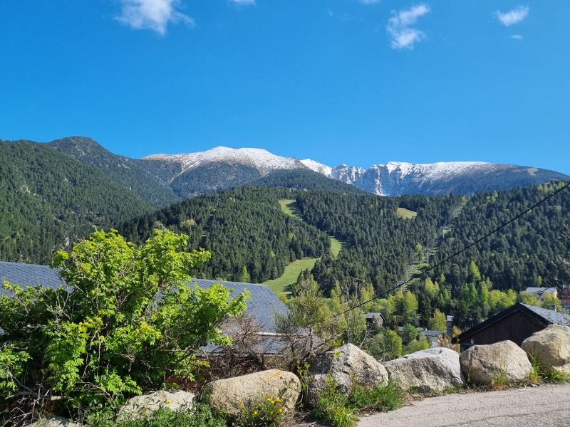
In summer, it is a paradise for hikers: two hiking trails (GR10 and GR36) run along the property of the cottage and you can access on foot the Bains de Saint-Thomas, the Gorges de la Têt, the peak of Cambre d ‘Aze and even at the Sanctuary of Nuria (in Spain).
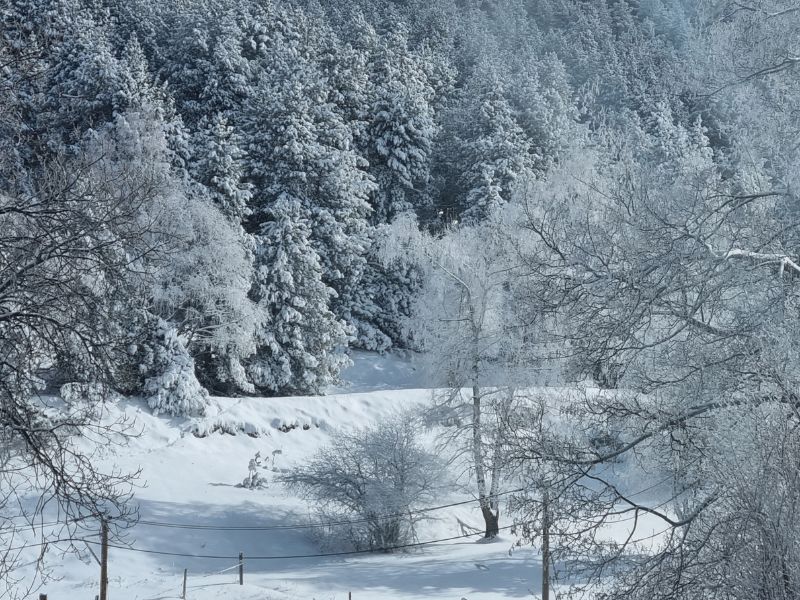
In winter, you can walk on snowshoes thanks to the numerous hiking trails and you can ski in winter resorts such as Cambre d’Aze, Font-Romeu / Pyrénées 2000 or even Les Angles.